
Keeping Public Site Improvements on Track With Construction Survey Control
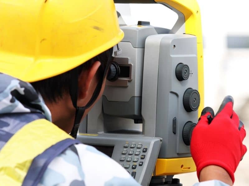
Public projects answer more eyes than private ones. Roads, sidewalks, drainage systems and civic work get built with public money and public scrutiny, which leaves little room for the kind of layout error a private site might quietly absorb. Construction survey control gives these projects a reference system that keeps every crew working to the same plan. When the improvements stretch across long distances and involve many trades, that shared framework holds the whole effort together. Without it, small position errors spread through work that’s meant to serve everyone.
Anchor Control Points Before Field Crews Begin Work
Every public improvement needs a reliable starting frame. Survey control sets fixed points that crews measure from, so roads, sidewalks, utilities and other civic work all trace back to the same reference. Establishing those points before the first crew arrives keeps the project aligned from day one.
That framework carries the whole build. Each trade works off the same control, which means the sidewalk crew and the utility crew end up in agreement rather than at odds. Anchoring the points early sets the tone for accurate work throughout.
Maintain Grade Consistency Across Long Work Areas
Public projects often run for long stretches, and grades have to stay true the whole way. A road or drainage line that drifts even slightly over distance can end up not draining or not connecting the way it should. Consistent control keeps the grades and alignments accurate from one end to the other.
That consistency matters most where the work spans a large area. Different crews at different points all need to hit the same grade, and only a shared reference makes that possible. Maintaining control across the distance keeps the finished work uniform.
Support Utility Coordination Around Existing Infrastructure
Public sites rarely start empty. Water, sewer, storm and electrical systems already run through the ground, and new work has to fit around them. Survey control helps crews locate and work with that existing infrastructure, so new lines find their place without striking what’s already there.
That coordination prevents costly damage. A crew working blind risks hitting a live line, while one working from good control knows where the existing systems sit. Supporting utility coordination keeps the project safe and on schedule.
Check Layout Before Concrete, Asphalt, or Pipe Installation
Permanent materials leave no easy path back. Once concrete cures, asphalt sets or pipe goes in the ground, fixing a misplaced improvement gets expensive and slow. Verifying the layout beforehand catches errors while they’re still cheap to correct.
That check is a simple habit with big payoff. A few minutes confirming position before the pour saves days of demolition and rework later. Checking layout before the permanent work goes down protects both the budget and the timeline.
Document Field Adjustments for Project Accountability
Public work runs on records. As layout shifts or crews adjust to field conditions, survey documentation captures what changed and where. That record gives project managers a clear account of the work as built.
Accountability matters more on public projects than most. Managers, reviewers and the public may all need to know how the work took shape, and solid documentation answers those questions. Recording the field adjustments keeps the project traceable from start to finish.
Frequently Asked Questions
Why do public site improvements need construction survey control?
Public work usually demands accurate alignment, consistent grade and careful coordination across trades and distance. Survey control provides the shared reference that makes all of that possible, which keeps the finished improvements true to the approved plans.
Can survey control help different crews work from the same reference?
Yes. It gives every crew consistent points to lay out and check their work against, so trades working at different times and places still end up aligned. That shared reference is what keeps a multi-crew project coherent.
What types of public improvements use construction survey control?
Roads, sidewalks, drainage systems, utilities, parking areas and public facilities all rely on it. Any civic work that needs accurate position and grade benefits from a control framework.
Why should layout be checked before concrete is placed?
Because corrections are far easier before permanent materials go in. Once concrete or asphalt sets, fixing a position error means tearing out finished work. A layout check beforehand keeps that from happening.